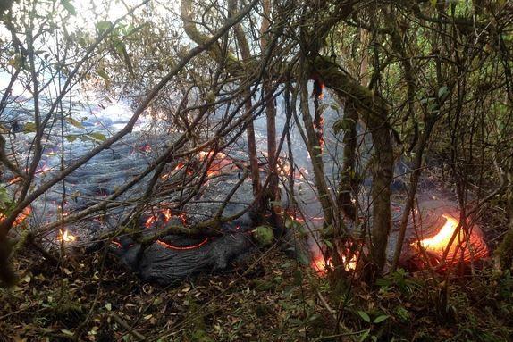

Iceland: Volcanic Holuhraun Lava Field Bigger than Manhattan
Iceland’s largest glacier, Vatnajökull, became the venue for an amazing natural phenomenon on August 29, when lava began making its way through its northern fissures. Now, it has become a largest eruption since the Laki in 1783-84, which killed 20 percent of the island’s population.