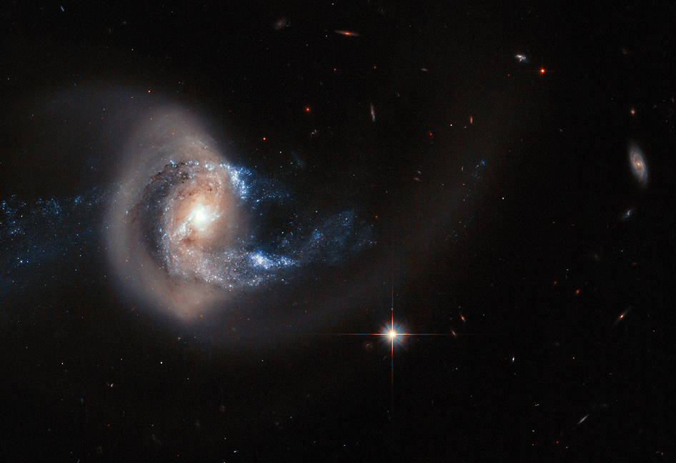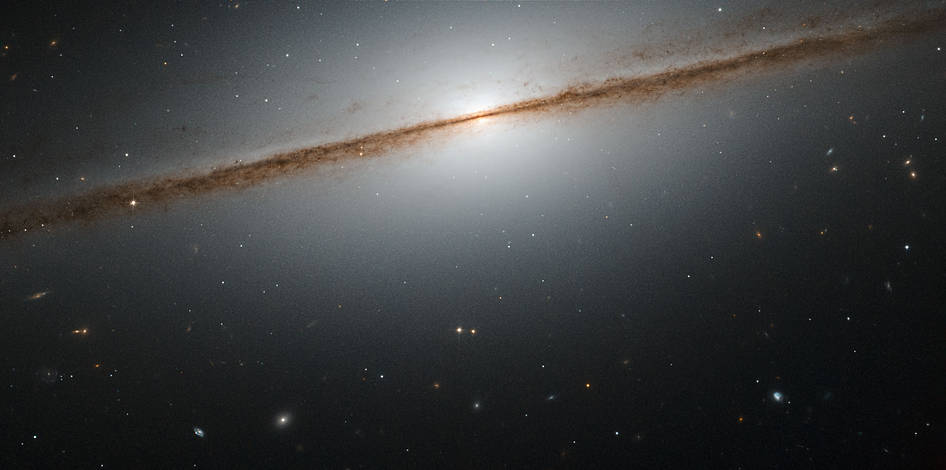
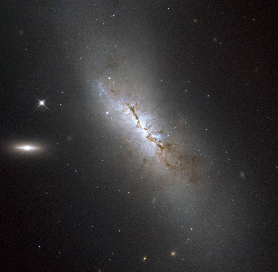
Hubble Images a Dusty Galaxy, Home to an Exploding Star
Although it may not be obvious from this image, NGC 4424 is in fact a spiral galaxy. In this image it is seen more or less edge on, but from above, you would be able to see the arms of the galaxy wrapping around its center to give the characteristic spiral form.